
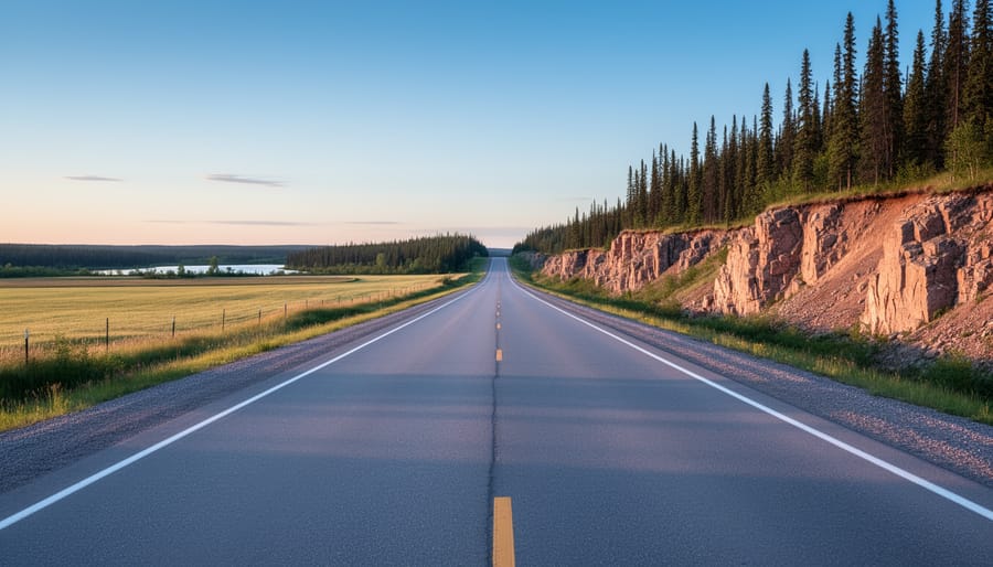
Getting to Manitoba’s provincial parks from Winnipeg is surprisingly straightforward, especially if you’re heading east. The drive to Whiteshell’s Nutimik Lake takes roughly two hours on fully paved roads, making it one of the most accessible wilderness escapes in the province. For other destinations scattered across Manitoba’s vast landscape, your journey might involve gravel roads, longer drives, and careful planning around limited services, but the eastern corridor offers an easy introduction to what these parks have to offer.
Here’s what catches most first-time visitors off guard: cell service disappears well before you reach many of these parks. I learned this the hard way when my GPS quit working halfway to the backcountry. Now I download offline maps before leaving the city limits, every single time. That last stretch approaching Nutimik Lake shows you exactly why these parks are worth the trip. The flat farmland gradually transforms into pink granite outcrops and dense stands of black spruce, a landscape that feels like stepping into a Group of Seven painting.
The real beauty of Manitoba’s park system is the range of distances involved. Some parks sit close enough for spontaneous day trips, while others require genuine expedition planning with fuel stops, provisions, and contingency routes. Understanding your transportation options and the specific access challenges for each destination makes the difference between a smooth adventure and a stressful scramble.
Why Manitoba Provincial Parks Are Worth the Journey
Manitoba’s provincial parks offer something increasingly rare: genuine wilderness within striking distance of city life. These protected areas feature thousands of lakes, dense boreal forests, and rocky Canadian Shield landscapes where you can genuinely disconnect, both literally and figuratively, from urban routines. The parks provide exceptional opportunities for canoeing, hiking, fishing, and wildlife watching, with facilities ranging from backcountry campsites to comfort-oriented campgrounds with showers and electrical hookups.
What makes these destinations particularly appealing for northern visitors is their accessibility. Many parks sit within a manageable drive from Winnipeg, making weekend escapes or week-long adventures realistic without extensive travel time. The eastern parks, including the Whiteshell region with destinations like Nutimik Lake, can be reached in roughly two hours on paved highways. The journey itself becomes part of the experience, watching prairie farmland gradually transform into pink granite outcrops and black spruce forests signals your arrival in true cottage country.
This accessibility comes with a practical consideration worth planning for: once you leave urban areas, cell service and data become unreliable. Understanding your route and preparing proper navigation tools before departure transforms what could be a stressful situation into a confident adventure. The parks reward visitors who arrive prepared with experiences that feel genuinely remote while remaining surprisingly reachable.
Key Access Routes to Manitoba Provincial Parks
1. The Eastern Route: Highway Access to Whiteshell Region
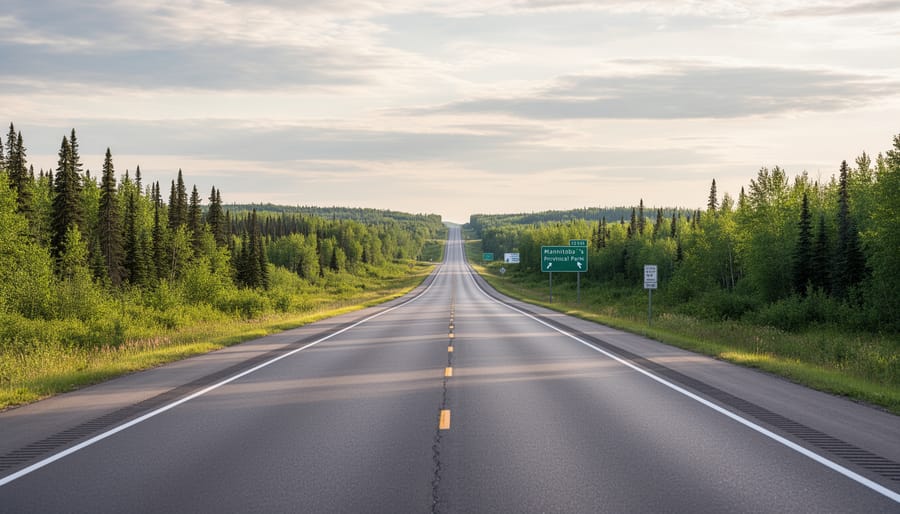
The eastern route into Manitoba’s Whiteshell region offers one of the most straightforward and scenic approaches to the provincial parks. This fully paved route from Winnipeg takes you to destinations like Nutimik Lake in roughly two hours, making it an accessible weekend getaway that doesn’t require backcountry driving skills or specialized vehicles.
You’ll leave Winnipeg heading east on well-maintained highways, initially passing through the familiar Manitoba farmland. Fields of canola and wheat stretch toward the horizon, and the landscape stays relatively flat for the first portion of the drive. This predictability makes the transition all the more striking when you reach the final stretch.
The last section of the journey is where the magic happens. Farmland gradually gives way to Canadian Shield terrain, and suddenly you’re surrounded by pink granite outcrops and dense stands of black spruce. The landscape transforms from agricultural prairie to boreal forest, signaling that you’ve entered true wilderness country. This visual shift happens over just a few kilometres, creating a clear sense of arrival.
The entire route stays on paved roads, which means you won’t need to worry about gravel conditions, washboard surfaces, or the kind of vehicle clearance required for rougher northern routes. A standard sedan handles this drive without issue in good weather. The highway is well-signed, and while you should always prepare with offline maps (more on that in the practical tips section), the route itself is straightforward enough that first-time visitors can navigate it confidently.
2. Northern Routes: Highways Leading to Parks North of Winnipeg
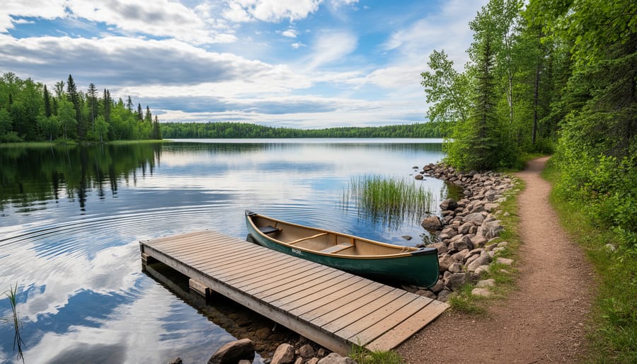
Heading north from Winnipeg opens access to parks that feel progressively more remote as you venture deeper into Manitoba’s boreal landscape. Unlike the well-established eastern corridor, northern routes typically involve longer drives and require more careful planning around fuel stops and supplies.
The highways leading north generally start as well-maintained paved routes near the city but conditions can vary as you get farther from urban centres. Before committing to a northern park destination, research the specific route conditions for that time of year, spring can bring frost heaves and rough patches, while summer usually offers the smoothest driving. Provincial highway maps and local travel forums are valuable resources for current road condition reports.
When planning a northern journey, build in extra time beyond what GPS estimates suggest. These aren’t quick day trips, you’re looking at drives that can stretch several hours, and you’ll want flexibility for wildlife stops, photo opportunities, and the slower pace that comes with less familiar roads. The landscape rewards patience, though, as farmland gradually gives way to forests of spruce, pine, and birch.
Fuel and supply planning becomes critical on northern routes. Fill your tank before leaving Winnipeg or the last significant town on your route, and carry extra water and snacks. Small communities along the way offer services, but hours can be limited and you don’t want to count on finding everything you need. This is wilderness travel that demands a bit of self-sufficiency and respect for the distances involved.
3. Western Access: Routes to Parks in Western Manitoba
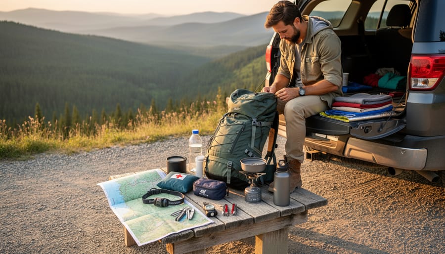
Western Manitoba’s provincial parks are accessed primarily via the province’s Trans-Canada Highway corridor and connecting routes that branch off toward recreation areas. If you’re planning a westward trip from Winnipeg, you’ll be traveling through prairie farmland before reaching the parks that dot the western regions.
The highway networks heading west are generally well-maintained major routes, though the distances can be considerable and you’ll want to factor in drive time when planning your itinerary. Unlike the relatively quick two-hour journey to eastern destinations like Nutimik Lake, western park trips often involve longer stretches on the road.
Before heading west, research your specific destination park thoroughly. Check current road conditions through official provincial resources, especially if you’re traveling during spring thaw or after heavy weather. Some parks may require you to turn off main highways onto secondary roads, and conditions on these connecting routes can vary seasonally.
Plan your fuel stops carefully. Western Manitoba is less densely populated than areas closer to Winnipeg, and services can be spread out along your route. Fill up when you have the opportunity, and carry extra water and snacks for the drive.
The same connectivity challenges that affect eastern parks apply here too. Download offline maps and any park information before you leave urban areas, as cell service becomes spotty once you’re beyond the major highway corridors. Having your route and park details saved offline ensures you can navigate confidently even without data coverage.
Transportation Options and What You Need to Know
Most Manitoba provincial parks are easiest to reach with your own vehicle, giving you the freedom to pack gear, stop for supplies, and explore at your own pace. The good news is you don’t need anything fancy, regular passenger cars handle the main park routes just fine, especially for destinations like Nutimik Lake where the route is fully paved.
If you’re flying into Winnipeg without a vehicle, rental cars are widely available at Richardson International Airport and throughout the city. Book ahead during summer months when demand peaks. Standard sedans work well for parks accessible via paved highways, but if you’re planning to venture onto unpaved access roads or explore multiple remote locations, consider upgrading to an SUV or crossover for extra clearance and confidence on rougher surfaces.
RV and camper rentals open up a different kind of park experience, letting you bring your accommodation with you. Several Winnipeg-based companies rent everything from small camper vans to full-sized motorhomes. Just verify that your chosen park has RV-accessible campsites and hookups before you commit, not all provincial parks offer the same level of RV infrastructure.
| Transportation Option | Best For | Key Advantages | Important Considerations |
|---|---|---|---|
| Personal Vehicle | Local visitors, flexible schedules | No rental costs, pack what you want, familiar vehicle | Ensure good condition before remote trips, check tire pressure |
| Rental Car | Fly-in visitors, weekend trips | Convenient airport pickup, newer vehicles with reliability | Book early for summer, confirm mileage limits for distant parks |
| RV/Camper Rental | Extended stays, families, groups | Accommodation and transport combined, kitchen facilities | Higher costs, requires campsite reservations, check park RV access |
Whatever you drive, make sure it’s in good shape before heading out. Check your spare tire and know how to change it, cell service drops off as you leave urban areas, and you’ll want to be self-sufficient if something goes wrong. Top up your fuel tank before leaving Winnipeg or the last major town on your route. Gas stations become sparse once you’re into cottage country and beyond, and running low in areas without cell coverage to find the nearest station adds unnecessary stress to what should be a relaxing journey.
Practical Information for Your Park Journey
Before you hit the road to explore Manitoba’s parks, a bit of preparation goes a long way. These aren’t remote wilderness destinations requiring expedition planning, but they’re far enough from urban centres that going in prepared makes the experience much smoother.
Download offline maps before you leave. This isn’t optional advice, it’s essential. Cell service becomes spotty once you leave Winnipeg’s metro area, and many parks have limited or no connectivity. Google Maps and similar apps let you download entire regions for offline use. Do this while you’re still connected to WiFi, and download a generous area that includes your route and destination. GPS satellites still work without cell service, so your downloaded maps will show your location and guide you even when you have zero bars.
Timing matters for Manitoba park trips. Summer weekends bring the biggest crowds, particularly to popular spots near Winnipeg. If you’re flexible, midweek visits offer quieter experiences and easier parking. Spring and fall provide beautiful scenery with fewer visitors, though you’ll want to check the weather more carefully during shoulder seasons when conditions change quickly.
Here’s what to sort out before departure:
- Download offline maps covering your entire route and destination area
- Fill your gas tank in the city, fuel stations become sparse outside urban areas
- Pack extra water and snacks for the drive
- Tell someone your itinerary and expected return time
- Bring physical maps as backup navigation
- Load any park information or permits onto your phone before losing connectivity
Your general Canada trip prep applies here too. Know what to pack based on your planned activities, whether that’s hiking, swimming, camping, or day-use picnicking. The parks offer genuine wilderness experiences just hours from the city, but that proximity doesn’t mean you can skip basic preparation. A little planning ensures you spend your time enjoying pink granite shores and boreal forests rather than troubleshooting avoidable problems.
Local Tips: Insider Advice for Smooth Park Access
Here’s something I wish someone had told me before my first Manitoba park trip: connectivity isn’t just spotty out there, it’s often nonexistent. At Nutimik Lake and along the drive from Winnipeg, cell service is unreliable at best. You can’t count on pulling up directions when you need them or checking trail maps once you’re past the city limits.
Before you head out, download offline maps of your destination and the full route in Google Maps or another app that supports offline navigation. Save screenshots of park maps, facility locations, and any reservation confirmations. It sounds basic, but you’ll thank yourself when you’re trying to find the turnoff to your campground and your phone has no signal.
Fuel planning matters more than you’d expect. Gas stations thin out quickly outside Winnipeg, and once you’re deep into park territory, the next pump might be farther than you think. Fill up before the final stretch, and if you’re heading to more remote northern parks, top off whenever you see a station. The same goes for supplies, stock up on groceries, ice, and essentials in the city or larger towns along your route.
Seasonal road conditions deserve attention too. Spring can bring washouts or rough patches on secondary roads after snowmelt, while early fall sometimes catches travelers off guard with sudden weather changes. Check road reports before departure, especially if you’re venturing beyond the well-traveled eastern routes. Manitoba’s parks are accessible, but a bit of prep makes all the difference between a smooth trip and a stressful one.
Common Questions About Accessing Manitoba Provincial Parks
Do I need a 4×4 vehicle to reach Manitoba provincial parks?
For parks along major highways like those in the Whiteshell region, a regular passenger vehicle works perfectly fine since the routes are fully paved. Northern and more remote parks may require higher clearance depending on road conditions, so check specific park access information before you go.
How long does it take to drive from Winnipeg to parks in eastern Manitoba?
The drive to parks in the Whiteshell area, including Nutimik Lake, takes roughly two hours from Winnipeg on paved highways. The journey transitions from farmland to the beautiful pink granite and black spruce landscape as you approach the park region.
Will I have cell service at Manitoba provincial parks?
Cell service and data are unreliable at many parks, including Nutimik Lake and on the drive there. Download offline maps of the area before leaving urban centres, and don’t rely on your phone for navigation once you’re en route.
What should I know about road conditions when visiting parks?
Major access routes to popular parks are typically well-maintained paved highways, but conditions can vary seasonally and with weather. Northern routes may feature gravel sections or seasonal maintenance schedules, so planning ahead helps you avoid common travel mistakes to avoid when exploring Manitoba’s wilderness areas.
Timing your arrival matters, especially for parks farther north. Summer and early fall generally offer the best road conditions and longest daylight hours for navigation. If you’re heading to more remote destinations, fill your fuel tank before leaving major centres and pack extra supplies. The combination of limited connectivity and distance from services means self-sufficiency becomes important the farther you venture from Winnipeg.
When planning your route, research the specific park you’re visiting rather than assuming all access roads are identical. While eastern parks benefit from excellent highway infrastructure, western and northern regions may present different access considerations. Local visitor centres and Manitoba’s parks website provide current road condition updates that help you prepare appropriately for your chosen destination.
Manitoba’s provincial parks offer incredible wilderness experiences that are surprisingly accessible with the right preparation. While some parks lie just a couple of hours from Winnipeg on well-maintained paved highways, others require longer drives into more remote terrain. The key to a smooth journey isn’t complicated, it’s about planning your route, understanding road conditions for your destination, and preparing for areas with limited connectivity.
Before you leave the city, download offline maps for your entire route and park area. Cell service becomes unreliable well before you reach many parks, and having navigation available offline transforms what could be a stressful drive into a confident adventure. Check your vehicle’s fuel level, pack essential supplies, and give yourself extra time for unfamiliar routes.
The beauty of Manitoba’s parks, from pink granite outcrops rising above black spruce forests to pristine lake systems perfect for paddling, rewards those who take these simple preparation steps seriously. With proper route planning and offline tools ready, these stunning northern destinations become genuinely accessible, offering the kind of wilderness escape that feels worlds away from urban life while remaining within reach for weekend adventures.